Overview
The 422-acre Lesesne State Forest is located in Nelson County, on the lower slopes of Three Ridges Mountain. Its primary use is research on American chestnut (Castanea dentata). In addition to the chestnut orchards, the property has upland and cove hardwoods and some open fields. It is adjacent to the George Washington-Jefferson National Forest.
At a Glance
Access Status: Open to the Public
Hours: Open daily from dawn until dusk
Physical Address:
Latitude/Longitude:
37° 50′ 32.3″, -78° 57′ 50.0″
Parking/Access: Access from Route 680 (Cub Creek Road)
Small parking area available at access point from Route 680
Restroom Facilities: None
Visitors are asked to adopt a “leave-no-trace” ethic when visiting the forest, as there are no restrooms or trash cans on the forest itself.
Other Facilities: None
Seasonal Closures: None
DOF recommends that all forest visitors wear blaze orange or pink during hunting seasons.


The Lesesne State Forest was deeded as a gift from Mrs. Anne Du Pont Valk in 1968, for the specific purpose of research aimed at restoration of American chestnut. The forest was named for Mrs. Valk’s father, Archibald Marian Lesesne Du Pont.
The forest lies at the base of Three Ridges Mountain, and since colonial times, it has primarily been farmland. Current Route 680, which forms the southeast boundary, was built through the area about 1740, when this section of the county was known as Verdeman’s Pass. Soil maps indicate the land was farmed and pastured at least until 1946. Sometime after 1946, apple orchards were established on the eastern section. A remnant of this orchard still exists and bears fruit each year. There is evidence of terracing on some slopes. The Lesesne is actually a latter-day composite of two old farms, known as the Clarkson tract to the west and the McGann tract to the east, roughly dividing the forest in half. Old house sites were located at the orchard and the lower spring.
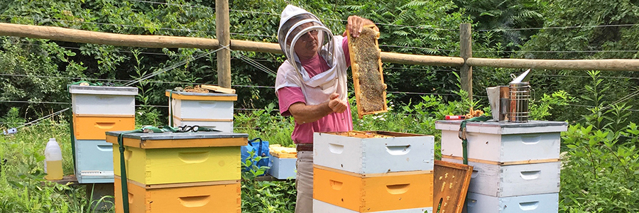
The forest has two chestnut orchards totaling about 34 acres and a small acreage in walnut plots. The balance of the acreage is open and semi-open forestland in various successional stages. In addition to chestnut research, the forest is managed for demonstration and education on forest practices, wildlife habitat, and natural resource conservation.
Major recreational uses of the Lesesne State Forest include hunting, hiking, and wildlife watching. Visitors are asked to avoid walking through the orchards to avoid potentially spreading pathogens into research areas.
Visitors are asked to adopt a “leave-no-trace” ethic when visiting the forest, as there are no restrooms or trash cans on the forest itself.
ATV/ORV use, camping, and swimming are prohibited on all State Forests.
A State Forest Use Permit* is required for individuals aged 16 and older to hunt, fish, trap, horseback ride, or mountain bike on state forest lands. The permit can be purchased online or where hunting licenses are sold.
Trails and Roads
- 1.5 miles of gated forest roads (no vehicles)
- No driving past forest gates.
Hiking
Hiking is limited to forest roads.
Mountain Biking
None
Horseback Riding
None
Fishing and Boating
None
Hunting and Trapping
Archery and black powder hunting are permitted with a valid State Forest Use Permit and valid hunting license in accordance with state regulations and Nelson County firearms regulations. Note that some regulations may be different than on private land, so check Virginia Department of Wildlife Resources Hunting Regulations for specific state forest details.
Other Recreational Opportunities
Passive recreational opportunities, such as wildlife watching and nature photography, are available.
- Self-learning opportunities are available.
- Self-guided educational opportunities – interpretive signs.
- Formal education programs are available upon request.
For more information or questions, e-mail us or use our contact form.
State Forest Main Office
Located at Cumberland State Forest
751 Oak Hill Road, Cumberland, VA 23040-2511
E-mail | (804) 492-4121
Local Contact
Jack Kauffman, Forest Manager
900 Natural Resources Drive, Suite 800, Charlottesville, VA 22903
E-mail | (540)395-1226
| Image | Title | ID | Description | View |
|---|---|---|---|---|
 | Lesesne State Forest – General Map | General map of Lesesne State Forest. To ensure your safety and enjoyment, please read Before You Visit when planning your trip to a state forest. Download or print this state forest map – many state forests are remote with limited cell phone service. These maps will work with Avenza Maps™, a mobile map app that allows you to track your movements offline on your iOS and Android device without the need for cell service or internet connection. A free version of this app can be downloaded to your device through your app store. | View | |
 | Lesesne State Forest – Hunting Map | Hunting map of Lesesne State Forest. To ensure your safety and enjoyment, please read Before You Visit when planning your trip to a state forest. Download or print this state forest map – many state forests are remote with limited cell phone service. These maps will work with Avenza Maps™, a mobile map app that allows you to track your movements offline on your iOS and Android device without the need for cell service or internet connection. A free version of this app can be downloaded to your device through your app store. | View | |
| Lesesne State Forest Hunting Season Brief | This information sheet provides a brief summary about hunting season in Lesesne State Forest, including various hunting seasons, dates and times. Visit Department of Wildlife Resources for full hunting regulations and seasons. | View |