Overview
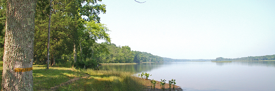
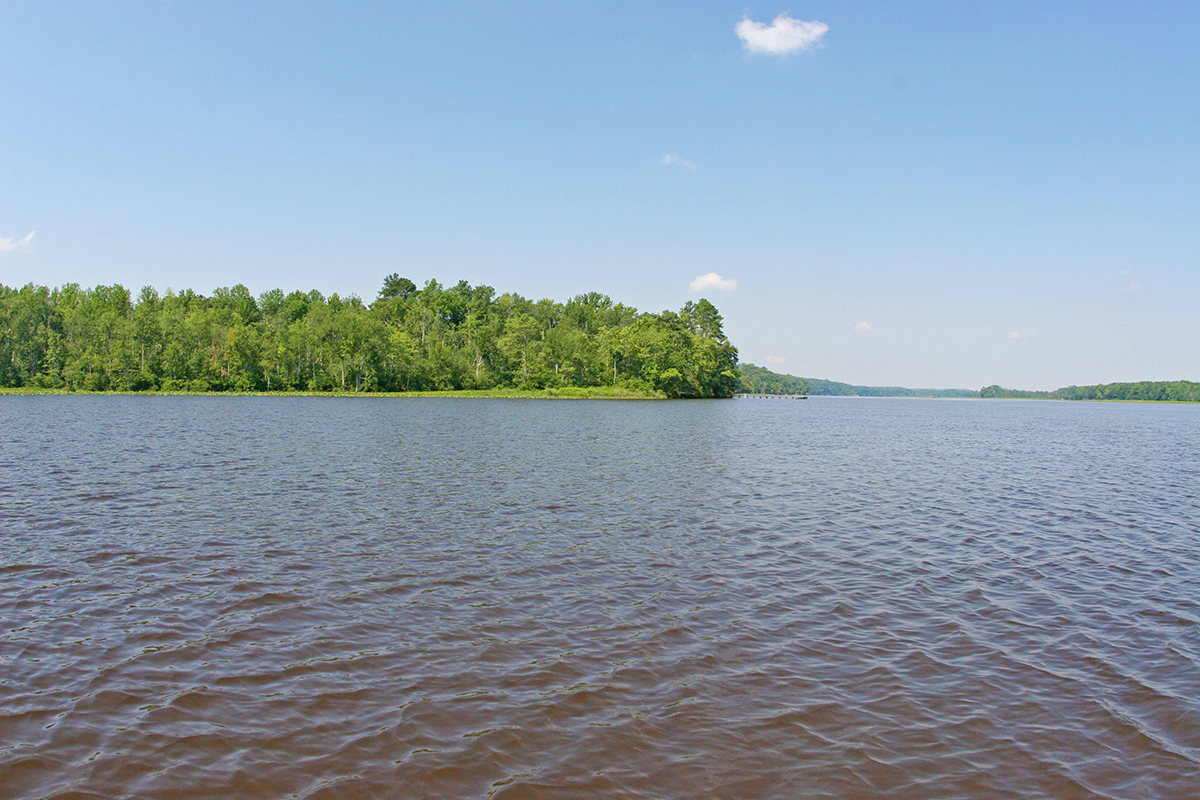
The Sandy Point State Forest occupies 2,074 acres in King William County. Its name is derived from the prominence of land, including marsh and swamp land, which juts out into the Mattaponi River and forms a sharp bend in the river. This bend forces the river through a narrow 300-foot channel, scoured to more than 40 feet deep. (For most of the rest of the river’s course, the channel varies between 700 and 1,500 feet wide with a mere 15-foot channel depth.)
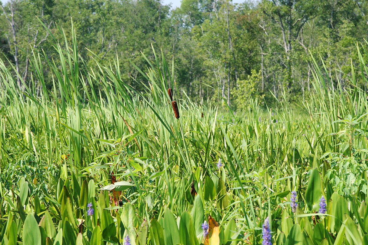
This forest lies entirely in the Mattaponi River watershed and is drained by four minor drainage systems, approximately 5 miles of perennial streams, and 3.4 miles of intermittent streams. A unique feature of this forest is its 3.8 miles of frontage on the Mattaponi River.
At a Glance
Access Status: Open to the public
Hours: Open daily from dawn until dusk
Physical Address:
Latitude/Longitude:
37° 40’ 13.3”, -76° 56’ 48.3”
Parking/Access: Access entrance is at the end of Route 641 in King William County.
Parking area large enough for 5 horse trailers at the entrance.
Restroom Facilities: None
Visitors are asked to adopt a “leave-no-trace” ethic when visiting the forest, as there are no restrooms or trash cans on the forest itself.
Other Facilities: 1 picnic shelter and open area on the Mattaponi River, with no vehicle access.
DOF recommends that all forest visitors wear blaze orange or pink during hunting seasons.
Forest History
Virginia Department of Forestry (DOF) purchased Sandy Point State Forest from The Nature Conservancy in 2002 with funds from the Forest Legacy Program. This federal program aims to protect and conserve important forests threatened by conversion to non-forest uses.
Chesapeake Corporation owned the property prior to The Nature Conservancy. Chesapeake used the property for pine timber production and as a hunting preserve.
Forest Management
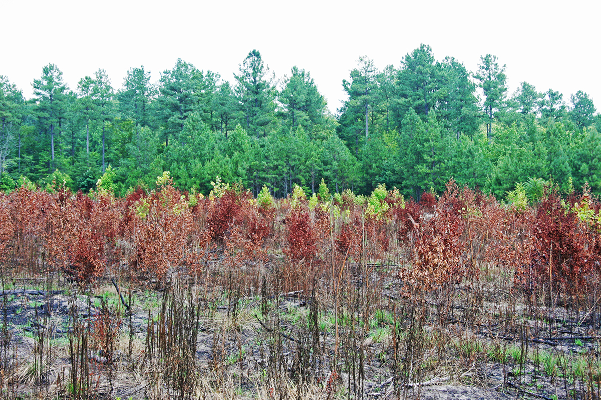
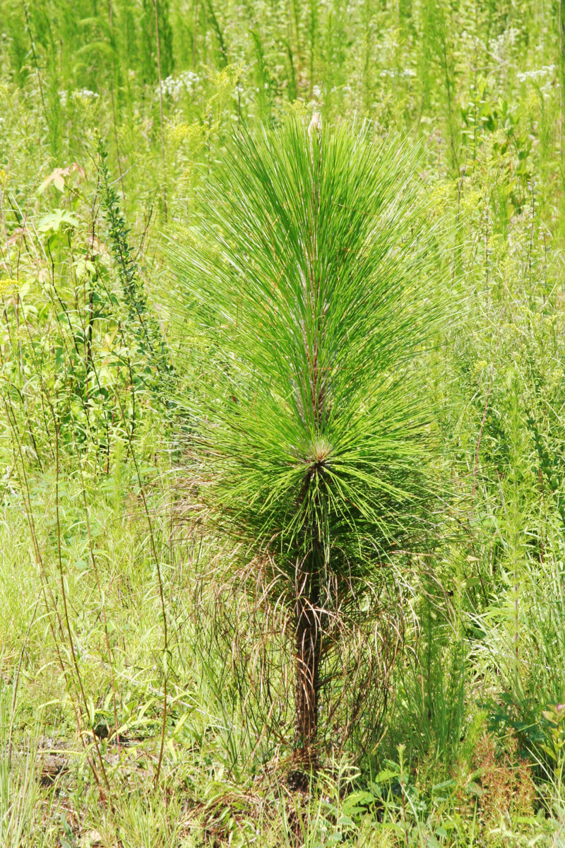
Forest management on the state forest focuses on the demonstration of scientific forest management, applied forest research, development of diverse wildlife habitat, watershed protection, development of diverse timber stands that support biological diversity, and opportunities for passive outdoor recreation. Approximately 49% of the total land area is forested with loblolly pine, the rest a mix of pine and hardwoods.
Recreational Opportunities
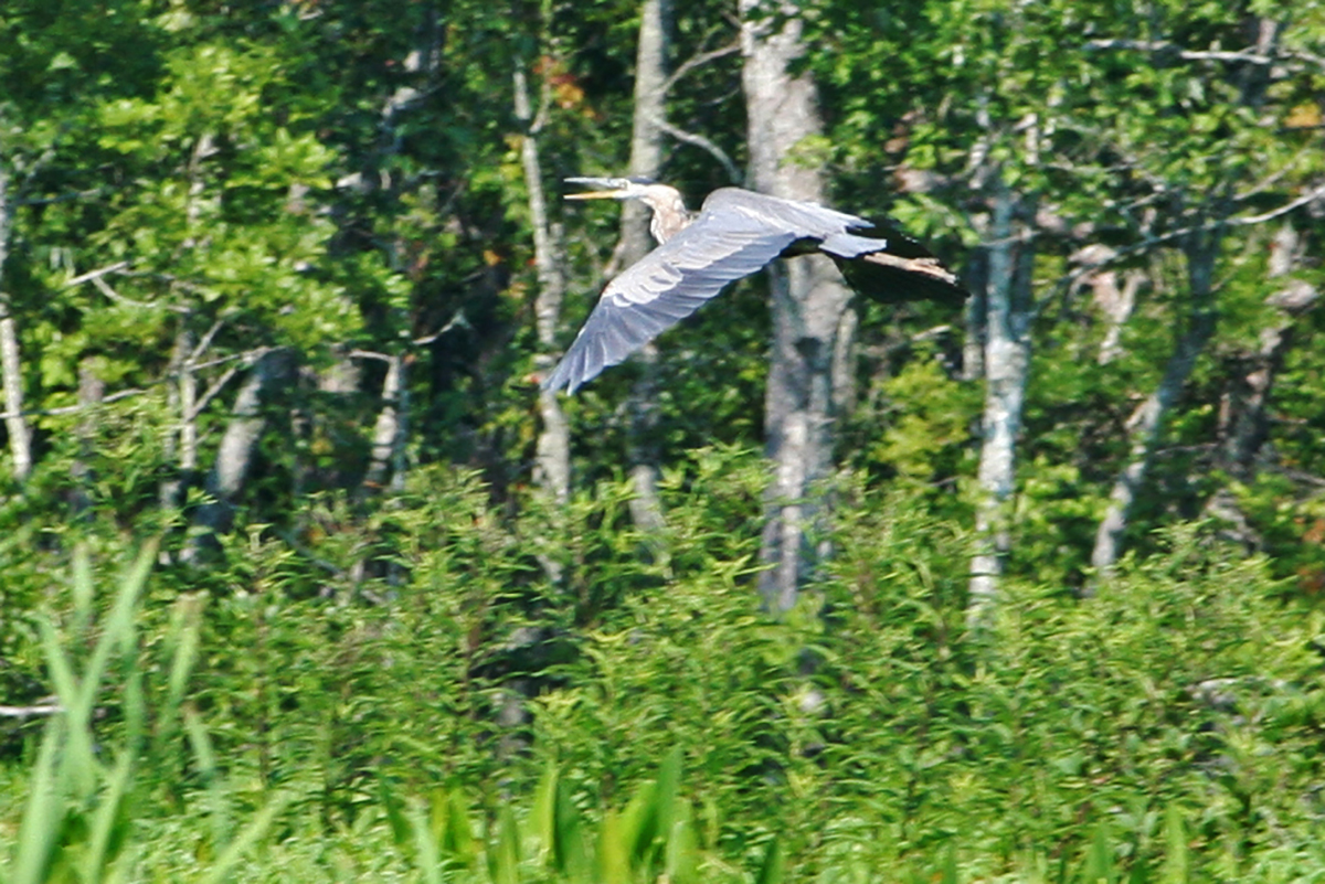
Popular recreational uses of the Sandy Point State Forest include hiking, mountain biking, horseback riding, canoeing and kayaking, hunting, fishing, and wildlife watching. A key feature of the forest is its location on the Mattaponi River.
Visitors are asked to adopt a “leave-no-trace” ethic when visiting the forest, as there are no restrooms or trash cans on the forest itself.
ATV/ORV use, camping, and swimming are prohibited on all State Forests.
A State Forest Use Permit* is required for individuals aged 16 and older to hunt, fish, trap, horseback ride, or mountain bike on state forest lands. The permit can be purchased online at or where hunting licenses are sold.
Trails and Roads
- 11.5 miles of gated forest roads (no vehicles)
- No driving past forest gates.
Hiking
Hiking is permitted on all forest roads and designated trails along the river and north side of the property.
Mountain Biking
Mountain biking is permitted on all forest roads.
Horseback Riding
Horseback riding is permitted on all forest roads.
State law requires that visitors carry a copy of a negative Coggins test report with each horse on state lands.
Fishing and Boating
Only non-motorized boats are allowed on state forest waterways.
There is no access by land to the Mattaponi River, however there is a primitive dock for boaters on the river to use.
Fishing is permitted in accordance with state fishing regulations. Both a State Forest Use Permit and Virginia fishing license are required.
Hunting and Trapping
Hunting and trapping are permitted with a valid State Forest Use Permit and valid hunting/trapping license in accordance with state regulations. Note that some regulations may be different than on private land, so check Virginia Department of Wildlife Resources Hunting Regulations for specific state forest details.
View additional hunting resources below under Maps and Additional Resources.
Other Recreational Opportunities
One picnic shelter by the river, accessible by bike, horse, or foot travel only.
Other passive recreational opportunities, such as wildlife watching and nature photography, are available.
Educational Opportunities
- Self-learning opportunities are available.
Tours of forest management activities for university and college classes and other organized groups can be arranged upon request.
Contact Us
For more information or questions, e-mail us or use our contact form.
State Forest Main Office
Located at Cumberland State Forest
751 Oak Hill Road, Cumberland, VA 23040-2511
E-mail | (804) 492-4121
Local Contact
Dennis Gaston, Forest Manager
11301 Pocahontas Trail, Providence Forge, VA 23140
E-mail | (804) 966-2209
Maps and Additional Resources
| Image | Title | ID | Description | Date | Content Type | View | hf:tax:document-category | hf:tax:Media |
|---|---|---|---|---|---|---|---|---|
 | Sandy Point State Forest – Hunting Map | Hunting map of Sandy Point State Forest. Maps work with Avenza Maps app for offline tracking on mobile devices. Download or print before your visit. | 09/04/2025 | Map | View | state-forests | map | |
| Sandy Point State Forest Hunting Season Brief | Information sheet summarizes hunting seasons, dates, and times for Sandy Point State Forest. | 08/19/2025 | Document | View | state-forests | document | ||
 | Sandy Point State Forest – General Map | General map of Sandy Point State Forest. To ensure your safety and enjoyment, please read Before You Visit when planning your trip to a state forest. Download or print this state forest map – many state forests are remote with limited cell phone service. These maps will work with Avenza Maps™, a mobile map app that allows you to track your movements offline on your iOS and Android device without the need for cell service or internet connection. A free version of this app can be downloaded to your device through your app store. | 08/24/2023 | Map | View | state-forests | map |