
Overview
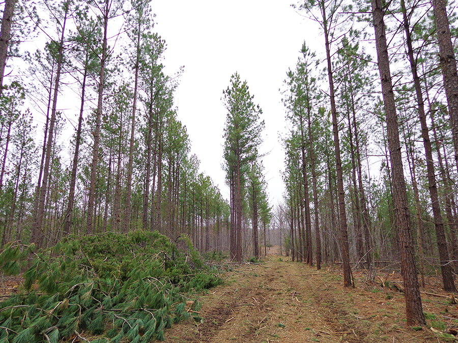
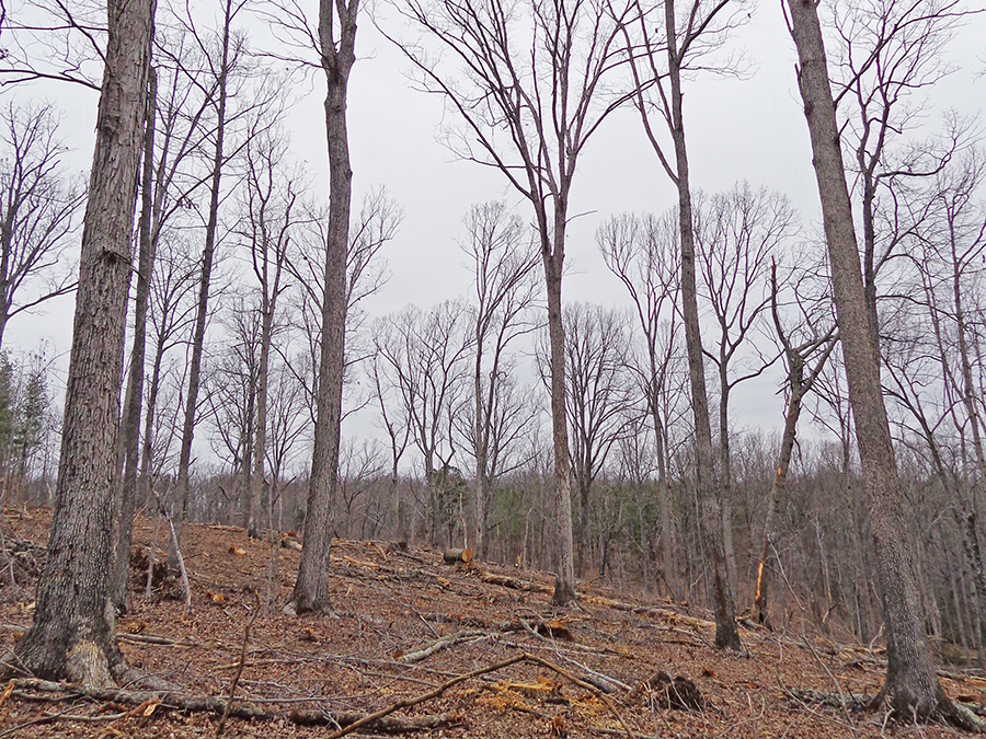
Bourassa State Forest covers 288 acres in Bedford County. Pine and hardwood management maintains the integrity of the forest, wildlife habitat, and water quality. The forest is used for study of flora and fauna, research, and demonstration of sound forest management. Consistent with the donor’s wishes, it has not been developed for recreation. Several small streams on the forest empty into Smith Mountain Lake.
Access Status: Not Open to the Public
Physical Address:
Latitude/Longitude:
37° 4’ 45.5”, -79° 31’ 26.5”
Tolers Ferry Road, Huddleston, VA 24104
Parking/Access: Not applicable
Restroom Facilities: None
Other Facilities: None
Seasonal Closures: None
Forest History
Through the generous donation of Colonel J. Leo and Hester A. Bourassa, 288 acres of land in southeastern Bedford County became part of the Virginia State Forest System in 1986. James W. Garner, state forester at the time, designated this land the Bourassa State Forest as a living memorial to this man so well known in the Smith Mountain Lake community.
Forest Management
The forest consists of mixed pine and mixed hardwood stands. Consistent with the intent of the gift, the use of this forest is limited to forest management practices, research studies, and wildlife refuge with the following objectives:
- Continue the wildlife refuge status through habitat maintenance and improvement, and through the prohibition of recreational development and unauthorized trespass.
- Protect the forest from uncontrolled fire and maintain the integrity of its good watershed conditions.
- Maintain portions of the state forest in a natural, undisturbed condition for the preservation and study of flora and fauna typical to climax forests of this region.
- Manage those areas designated as commercial forestlands for long-term production of both pine and hardwood types. Converting the loblolly pine areas to shortleaf pine and developing quality oak regeneration on the better sites is a primary focus of forest management.
- Perform management activities to embrace good forest stewardship principles so that the forest can be used as a demonstration to interested groups and private landowners.
Recreational Opportunities
Due to its designation as a wildlife refuge and forestry experimental station, recreation is not allowed on the Bourassa State Forest.
- 0.6 miles of gated forest roads (no vehicles) – not open to the public
- No driving past forest gates.
Educational Opportunities
- Formal education programs are available upon request.
Contact Us
For more information or questions about state forests, e-mail us or use our contact form.
State Forest Main Office
Located at Cumberland State Forest
751 Oak Hill Road, Cumberland, VA 23040-2511
E-mail | (804) 492-4121
Local Contact
Virginia Department of Forestry Western Region Office
210 Riverland Drive, PO Box 100, Salem VA, 24153
(540) 387-5461
Maps and Additional Resources
| Image | Title | ID | Description | Date | Content Type | View | hf:tax:document-category | hf:tax:Media |
|---|---|---|---|---|---|---|---|---|
 | Bourassa State Forest – General Map | General map of Bourassa State Forest. To ensure your safety and enjoyment, please read Before You Visit when planning your trip to a state forest. Download or print this state forest map – many state forests are remote with limited cell phone service. These maps will work with Avenza Maps™, a mobile map app that allows you to track your movements offline on your iOS and Android device without the need for cell service or internet connection. A free version of this app can be downloaded to your device through your app store. | 08/25/2023 | Map | View | state-forests | map |