
Overview
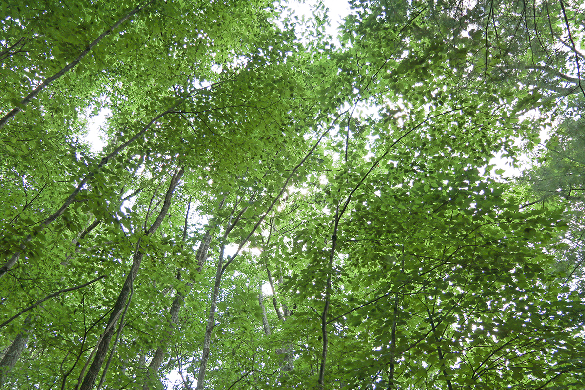
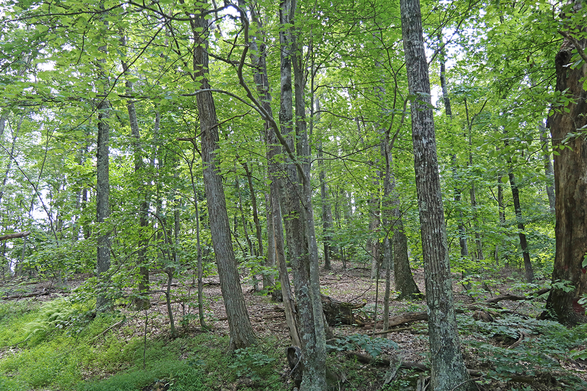
Niday Place is a 264.5-acre state forest in Craig County. Its primary uses are natural resource conservation and demonstration of forestry practices. The upland hardwood forest has several small streams and features views into Johns Creek Valley and beyond. Remnants of an old farmstead can be found in the northern portion of the forest.
At a Glance
Access Status: Open to the Public, but no direct access
Hours: Open daily from dawn until dusk
Physical Address:
Latitude/Longitude:
37° 23’ 14.9”, -80° 23’ 36.2”
John’s Creek Mountain Road, New Castle, VA 24128
Parking/Access: Only access is via a small pull-off on Route 658; no parking available; do not block the gate
Restroom Facilities: None
Visitors are asked to adopt a “leave-no-trace” ethic when visiting the forest, as there are no restrooms or trash cans on the forest itself.
Other Facilities: None
Seasonal Closures: None
Forest History
The Niday Place State Forest was gifted to the Commonwealth by Anne Cutler in 1989. Ms. Cutler wanted to conserve this piece of forestland on the north side of Johns Creek Mountain for research and educational use. A comprehensive Archeological Study of the circa-1900 farmstead on the property was completed and is on file at the Cumberland State Forest office.
Forest Management
The forest is managed for multiple-use benefits including wildlife, recreation, watershed protection, education, and forest management demonstrations. The overall objective is to maintain the natural forest beauty while improving the quality and quantity of use benefits to the public.
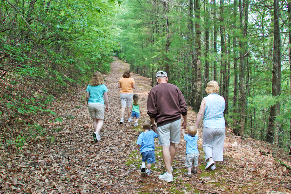
Recreational Opportunities
Visitors are asked to adopt a “leave-no-trace” ethic when visiting the forest, as there are no restrooms or trash cans on the forest itself.
ATV/ORV use, camping, and swimming are prohibited on all State Forests.
A State Forest Use Permit* is required for individuals aged 16 and older to hunt, fish, trap, horseback ride, or mountain bike on state forest lands. The permit can be purchased online or where hunting licenses are sold.
Trails and Roads
- 0.4 mile of gated forest roads (no vehicles)
- No driving past forest gates.
Hiking
Hiking is permitted on all forest roads, but there is no parking available.
Although there are no trails or parking on the forest itself, the Appalachian Trail crosses within a few hundred feet of the property and is easily accessed from the state forest.
Mountain Biking
None
Horseback Riding
None
Fishing and Boating
None
Hunting and Trapping
None
Other Recreational Opportunities
Other passive recreational opportunities, such as wildlife watching and nature photography, are available.
Educational Opportunities
- Self-learning opportunities are available.
Contact Us
For more information or questions, e-mail us or use our contact form.
State Forest Main Office
Located at Cumberland State Forest
751 Oak Hill Road, Cumberland, VA 23040-2511
E-mail | (804) 492-4121
Local Contact
Virginia Department of Forestry Western Regional Office
210 Riverland Drive, PO Box 100, Salem VA, 24153
(540) 387-5461
Maps and Additional Resources
| Image | Title | ID | Description | Date | Content Type | View | hf:tax:document-category | hf:tax:Media |
|---|---|---|---|---|---|---|---|---|
 | Niday Place State Forest – General Map | General map of Niday Place State Forest. To ensure your safety and enjoyment, please read Before You Visit when planning your trip to a state forest. Download or print this state forest map – many state forests are remote with limited cell phone service. These maps will work with Avenza Maps™, a mobile map app that allows you to track your movements offline on your iOS and Android device without the need for cell service or internet connection. A free version of this app can be downloaded to your device through your app store. | 08/15/2023 | Map | View | state-forests | map |